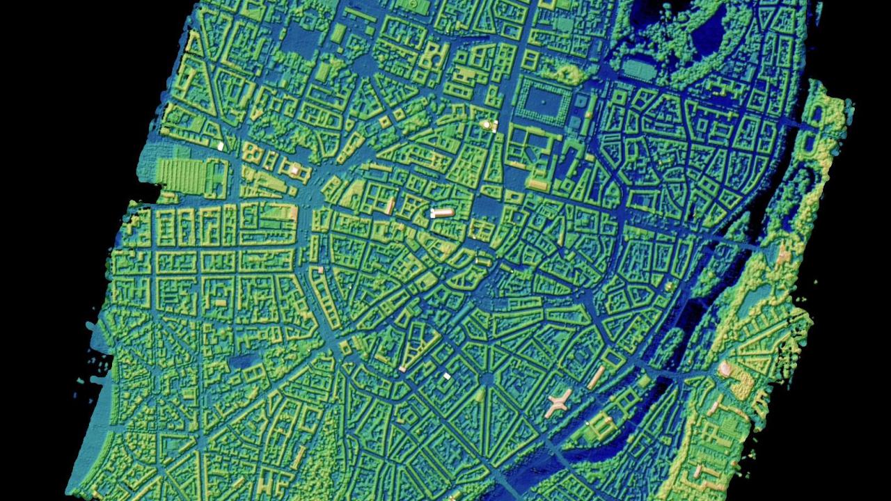
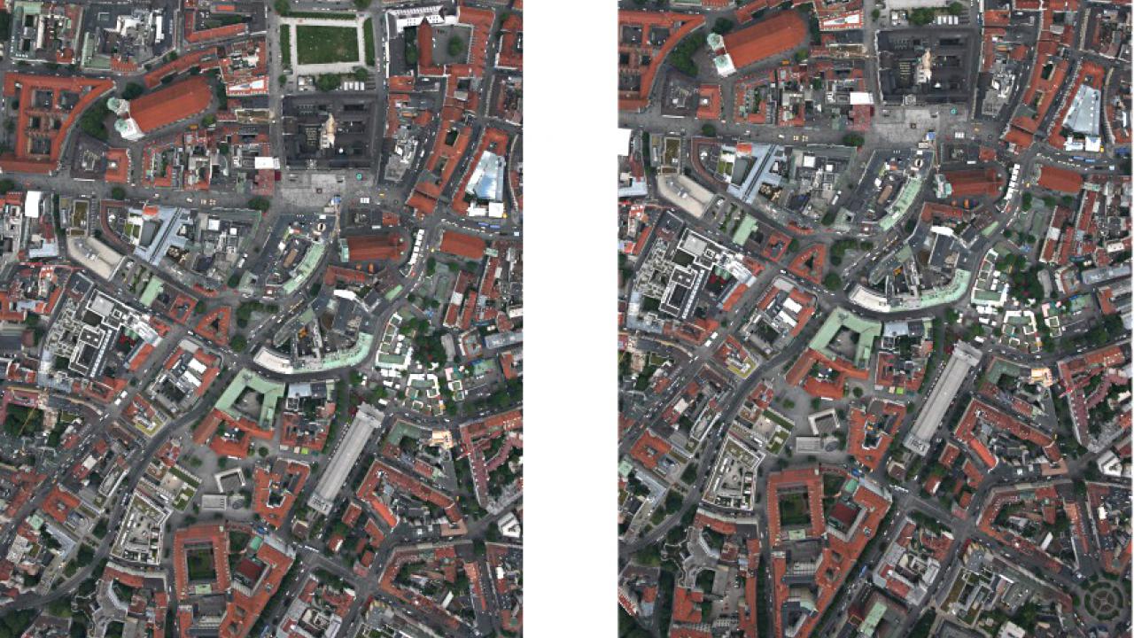
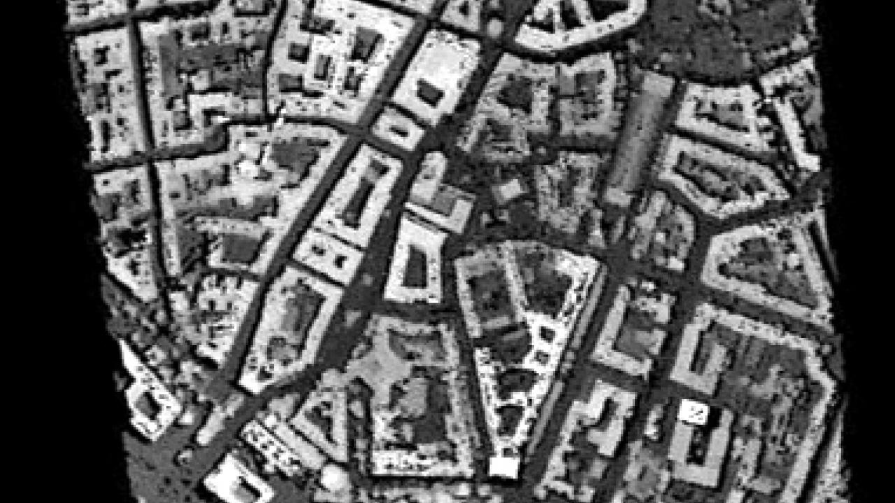
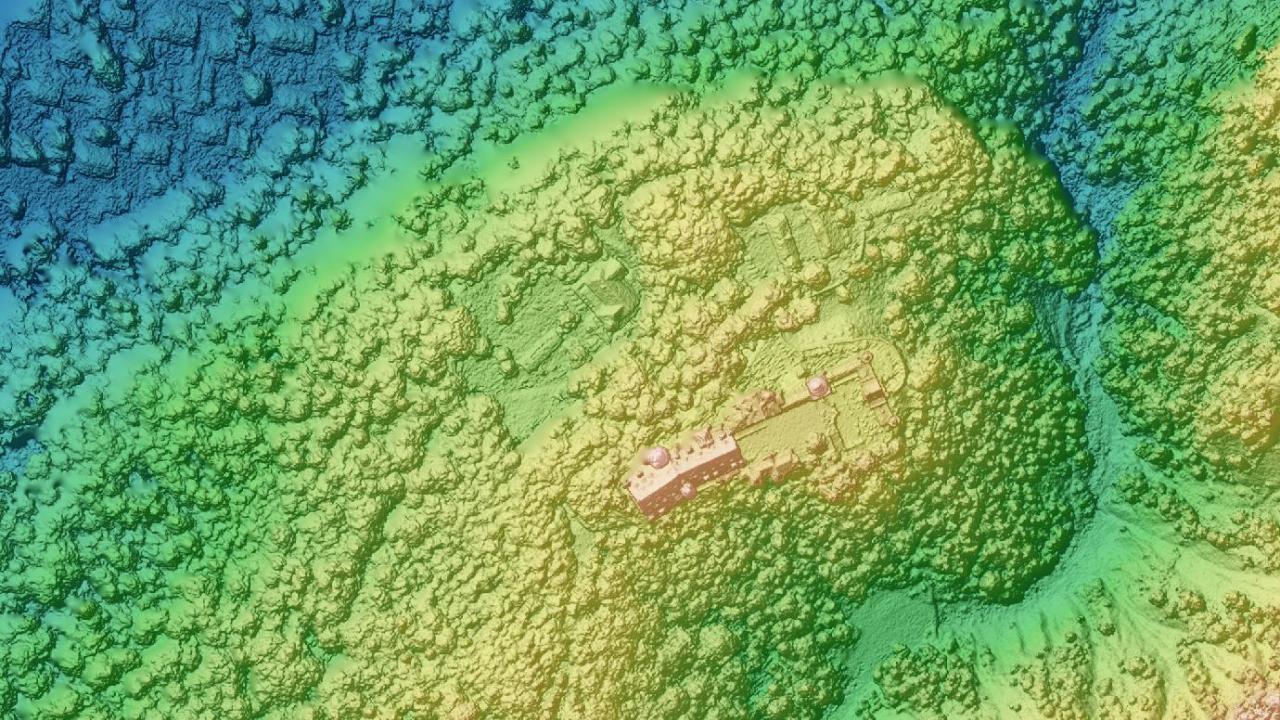
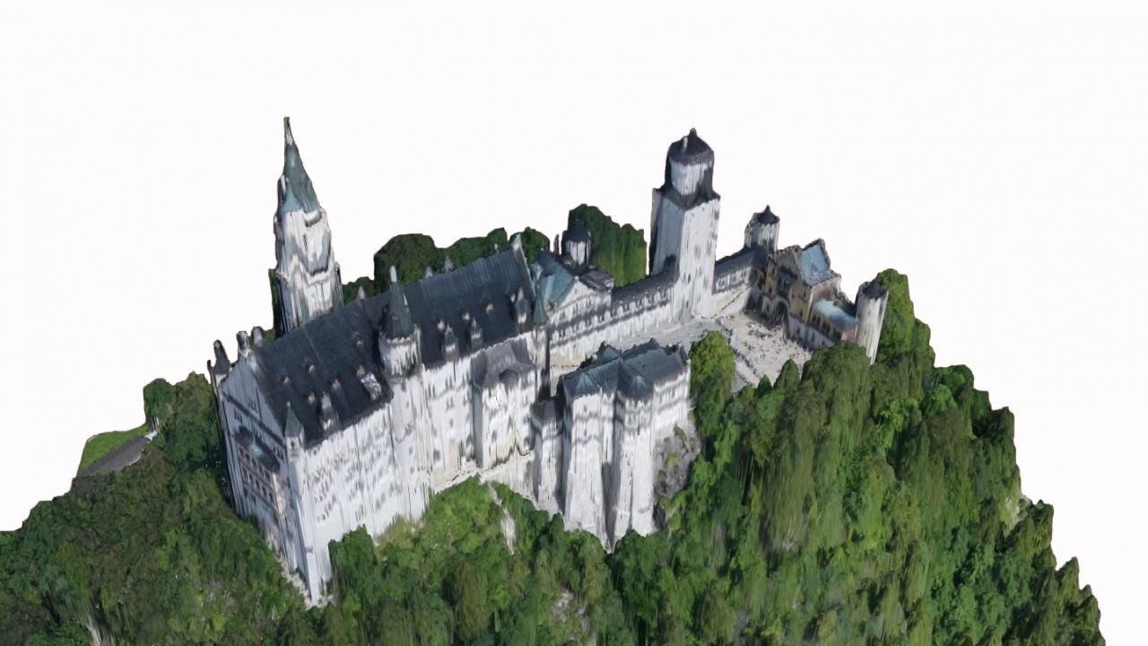
Earthquakes, landslides, tsunami and other natural disasters can abruptly change the shape of the earth’s surface. Disaster relief teams and public authorities require up to date and precise situational information as soon as possible when responding to such events. By employing an optical camera system, the German Aerospace Center (DLR) can provide timely, high-resolution 3D terrain models within seconds directly from the airplane or helicopter.
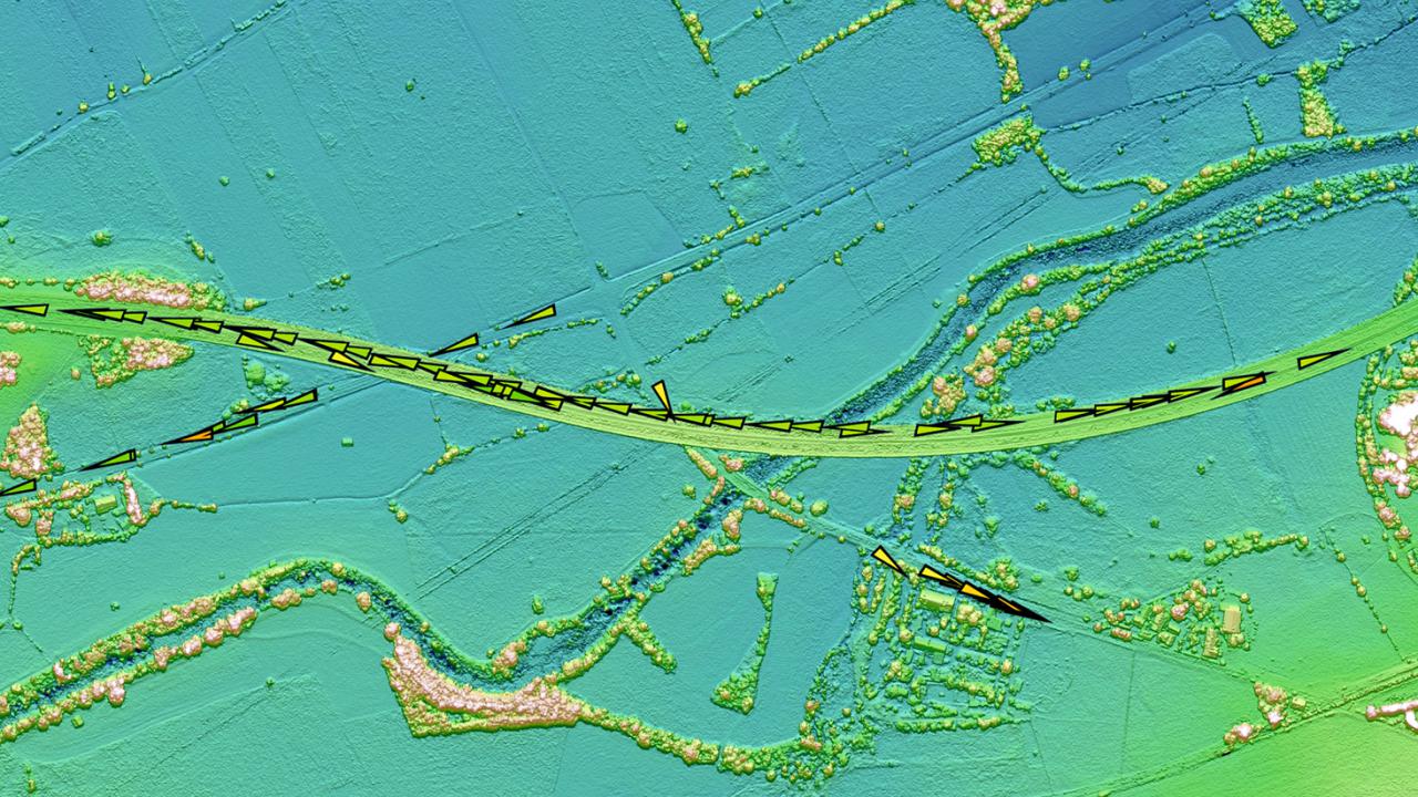
Relief teams can obtain three-dimensional views of the situation on the ground while the aircraft is still flying over the affected area. This is important in cases of landslides and major storms since it makes it possible to immediately evaluate damage to buildings, streets and bridges. Such data is also valuable for monitoring traffic, or for further processing into flood maps. The camera system’s performance could be demonstrated as part of the VABENE++ project, which focuses on ways to support traffic management during major mass events and disasters. The scientists selected downtown Munich and the Alps near Neuschwanstein Castle as test areas.
Faster, easier, cheaper
Up until now, high computer capacity was needed to generate elevation models in real-time. Now, without elaborate infrastructure in as little as 1.8 seconds a terrain model with 50 centimetre resolution can be produced with the "3K" and "4k" camera systems developed by DLR’s Remote Sensing Technology Institute for use in aircraft or helicopters. For the test flights, a Cessna C-208B Grand Caravan and a Eurocopter BO 105 were provided by DLR’s Flight Experiments department.
"We were eagerly looking forward to the first high-resolution 3D images. Processing the data in near real-time is anything but trivial and we had a few problems in the beginning. That made it all the more rewarding to watch terrain models being produced, image by image, for the whole area while we were flying over Neuschwanstein Castle. That was an important project milestone for us", explained Dr.-Ing. Franz Kurz of DLR’S Remote Sensing Technology Institute when describing the successful test campaign. For real-time processing the aerial image experts simplified and accelerated the already very rapid "Semi-Global-Matching" procedure developed at DLR: As with human spatial vision, the differences between two overlapping images are used to obtain elevation information.
So that the data processing always keeps up with the on-board cameras’ recording speed, the resolution of the elevation model is matched to the terrain. For example, the ground resolution is reduced for areas with large differences in relief, which keeps the computing time down. This was the challenge facing the team in the Neuschwanstein Castle test area, where the elevation varies by 1000 metres. Despite the high computational requirements, the 3K camera system could generate a terrain model with one metre resolution in synchrony with the pace of recording.
When developing its 3K and 4k camera systems, the Remote Sensing Technology Institute refrained from using customized sensors and complex components in favour of off-the-shelf consumer elements. This keeps the costs down, thus making it possible in the future for public authorities to equip their helicopter and aircraft fleets with the camera system. At the same time the system benefits from high market dynamics, so that the developers can continue to make progress in improving performance and speed—quickly, easily, and without expensive innovations.

