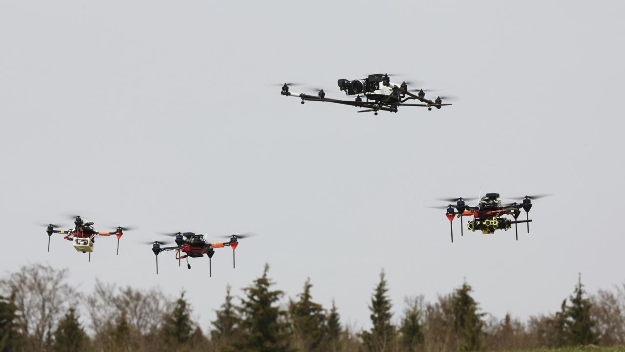
Disaster relief missions require quick and detailed information about the affected area. But how can this information be obtained promptly and without any danger to humans? One possibility for image-based position detection is provided by multicopters or UAVs (Unmanned Aerial Vehicles) equipped with cameras and simple navigation devices, which can be used quickly and easily and are also comparatively inexpensive to operate. However, the range of individual multicopters is limited, which makes it costly to map larger areas across the board. A solution to this problem is the operation of a swarm consisting of several UAVs, as it was developed in the swarm exploration group of the Institute for Communication and Navigation within the framework of VABENE++ and was already introduced in May.
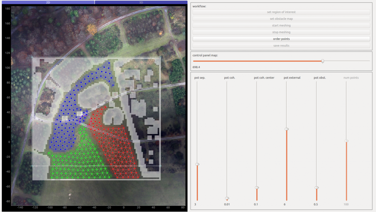
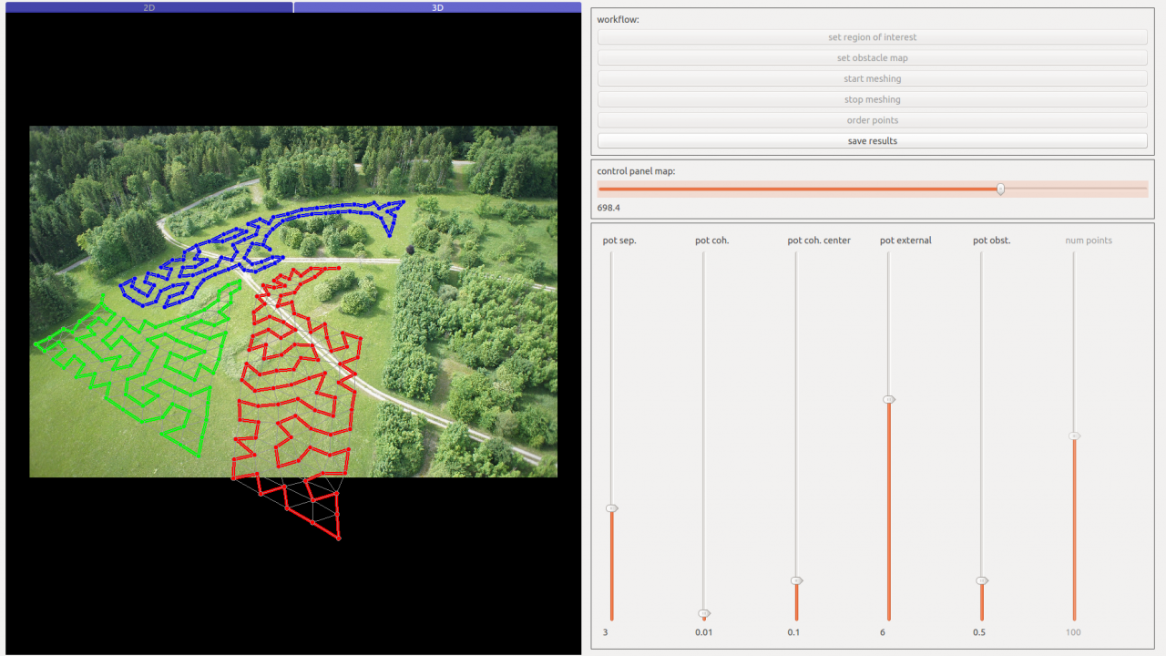
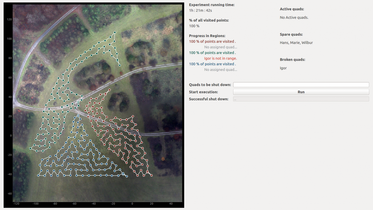
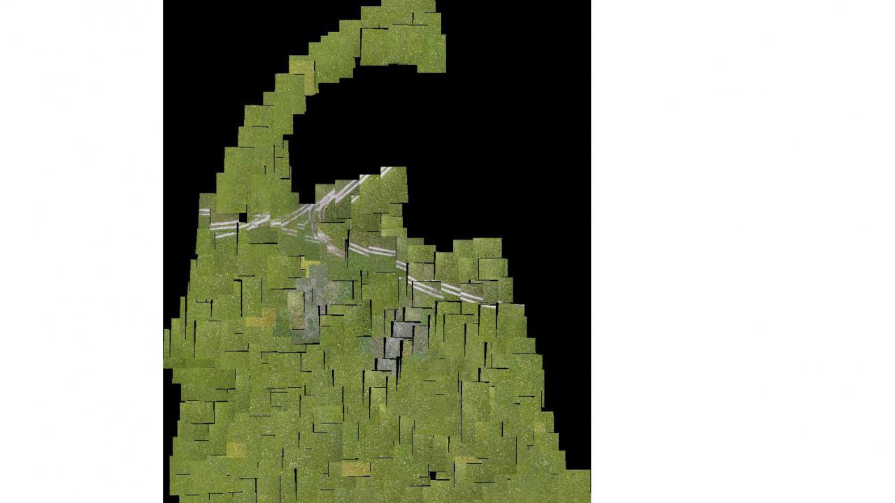
In the meantime, the system has been extensively tested and optimized in terms of usability. The user simply defines an area of interest with a tablet or computer and the system does the rest automatically. The first step is to divide the area into sub-regions, to identify points where photos have to be taken for area-wide mapping and finally to calculate optimal flight routes from point to point. The helicopters fly these routes, take pictures and transmit them to a receiver. From here they are loaded into a central database and processed into a mosaic. All this without the user's specialist knowledge. Should a UAV fail on the way, the remaining area is also automatically redistributed to the remaining UAVs, which makes the swarm particularly robust.
In the summer of 2017, field experiments with parallel operation of up to four UAVs demonstrated the efficiency and scalability of the system in terms of area size and number of UAVs. Basically, the multicopter swarm system is not only suitable for disaster control applications, but also for any area that requires imaging and data transmission to a central location. This also includes, for example, intelligent agriculture or civil surveillance applications. The HEIMDALL project uses the developments to date, for example, to protect against forest fires.

