Launch of R-Mode Baltic project Seafaring vessels use satellites to determine their precise position to within a few metres. It is particularly important that exact positional information is constantly available in coastal waters and ports or near offshore wind farms and oil...
Project launch: 'Ich entlaste Städte' (I unload cities) Despite their large potential to reduce emissions and increase transport efficiency, cargo bikes have thus far not been used to any significant extent for business purposes. The German Aerospace Center (Deutsches Zentrum für...
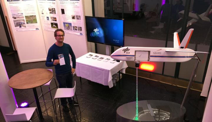
From 8th to 11th of September, the Science Days Munich offered the opportunity for universities, companies and research institutes from Munich to present their work to the general public. DLR took the opportunity to exhibit a model of its Transportable Optical Ground Station...
Digital road maps are becoming increasingly important in planning and execution of operations of emergency services. In order to effectively support these operations, comprehensive editing capabilities for the digital cartographic basis were developed as part of the DLR research...


 of Munich")