To meet society’s future mobility needs while making road traffic safer, more efficient and environmentally friendly, DLR is working on technologies to connect road users. The KoKoVI project considers traffic as a networked system in which vehicles, cyclists, pedestrians and the road infrastructure exchange data and cooperate with each other. The resulting added value for people and their mobility is demonstrated during the project through use cases. In a measurement campaign, data from all traffic participants has been collected in order to smartly link their perspectives and develop methods to address transportation challenges of the future.
©DLR
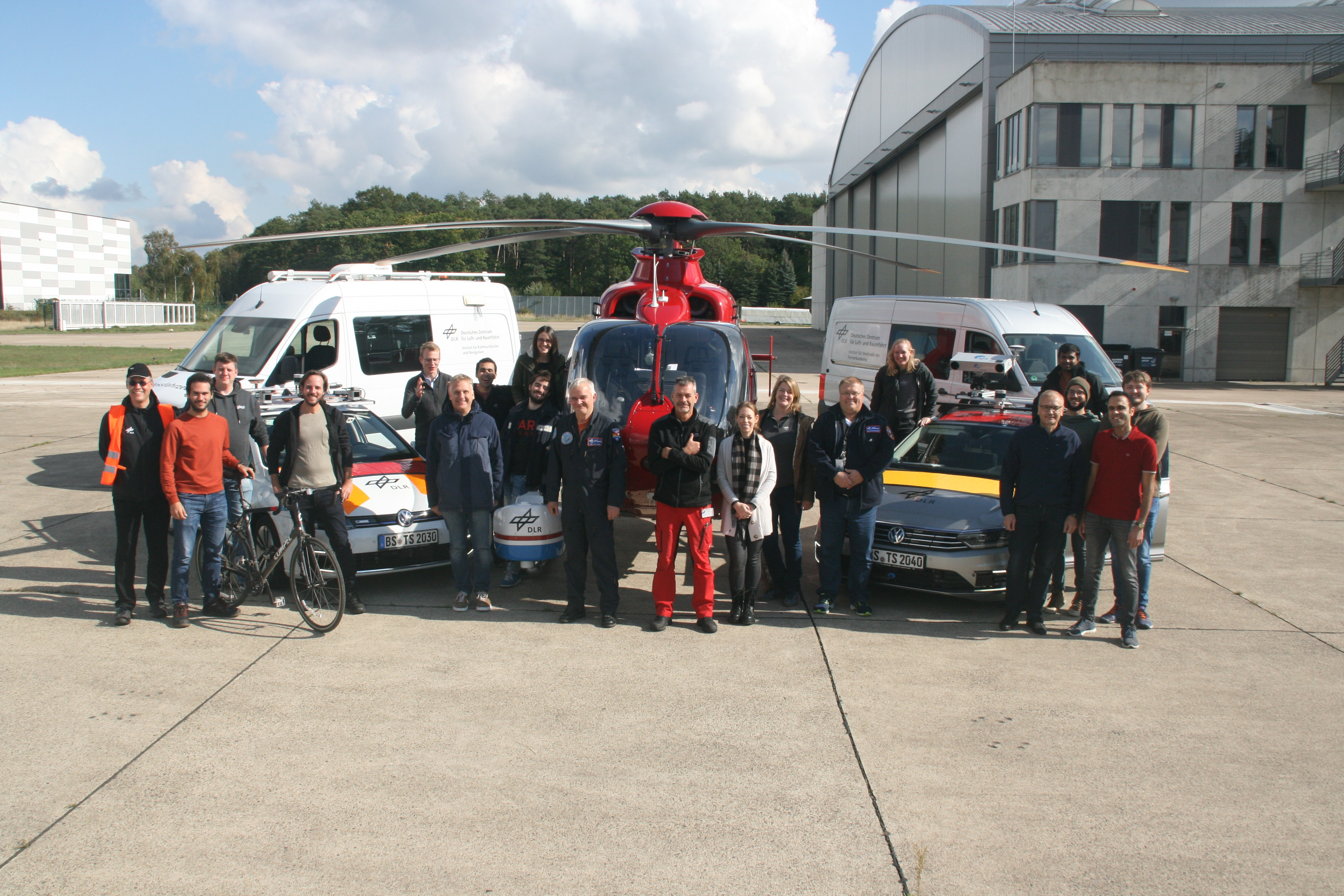
Campaign team of the KoKoVI measurement campaign in Braunschweig with measurement vehicles and research helicopter.
©DLR
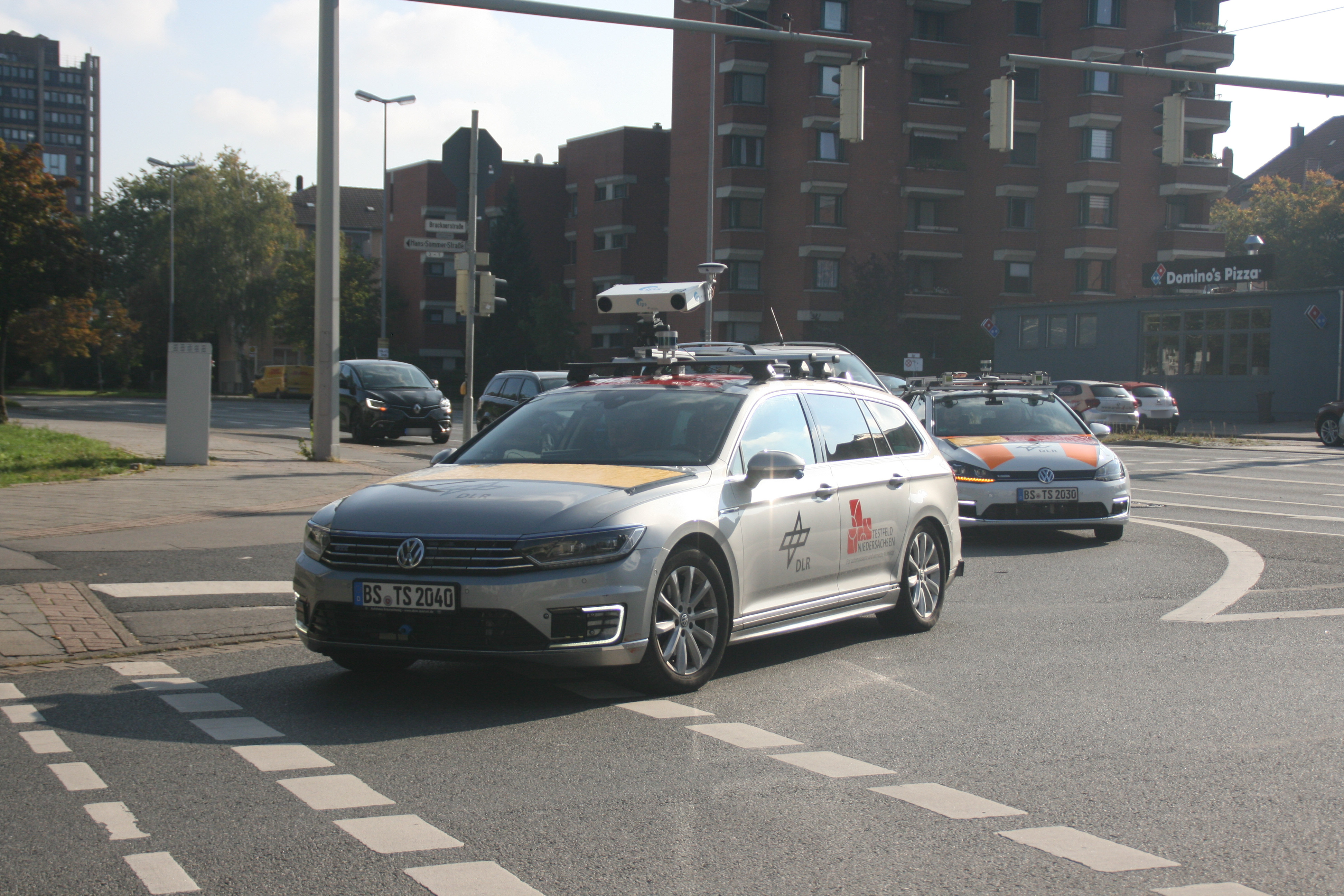
DLR measurement vehicles VIEWCar II and FASCar-e in Brunswick equipped with sensors.
©DLR
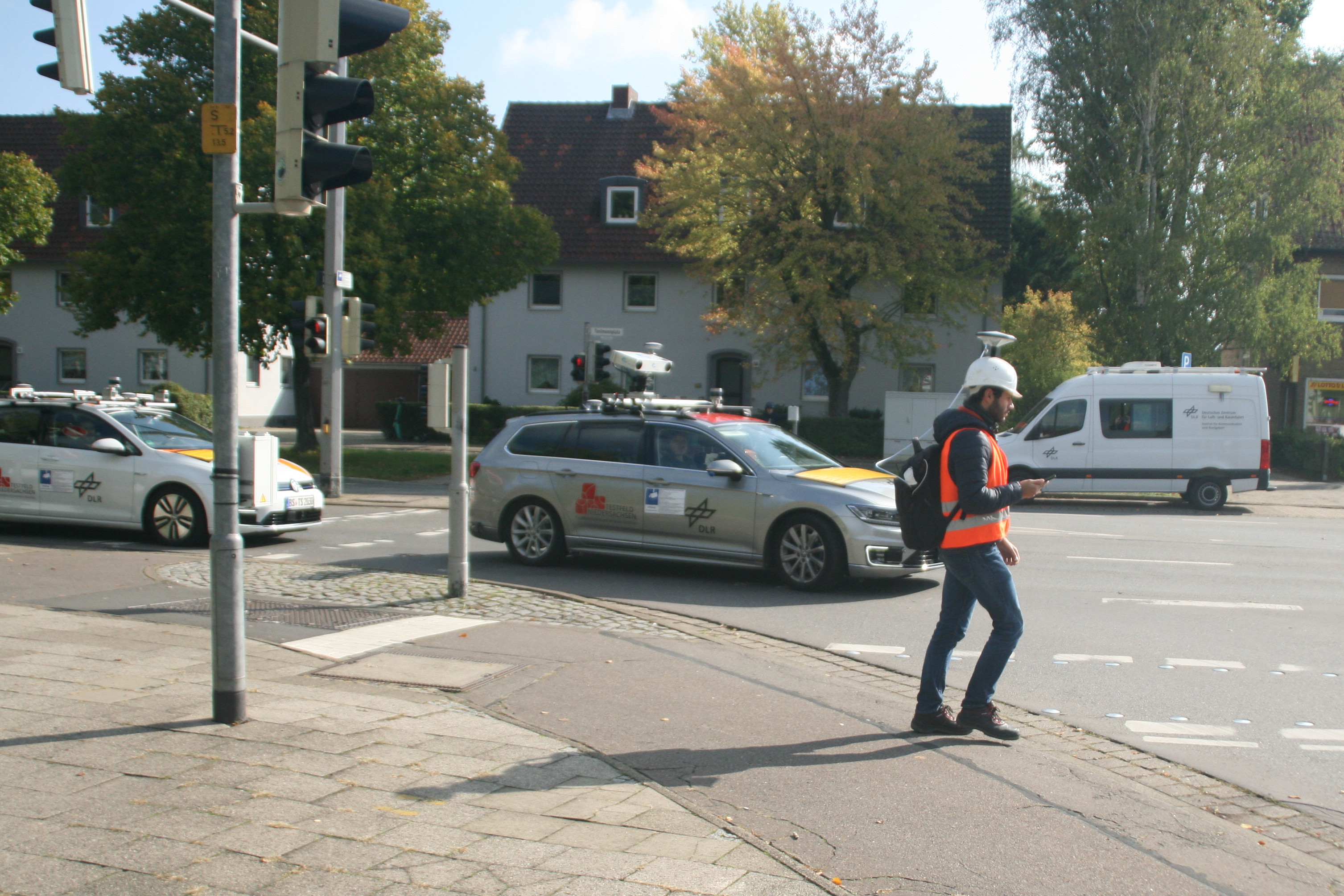
The traffic scenarios recorded took into account not only cars but also additional road users such as pedestrians and cyclists.
©DLR
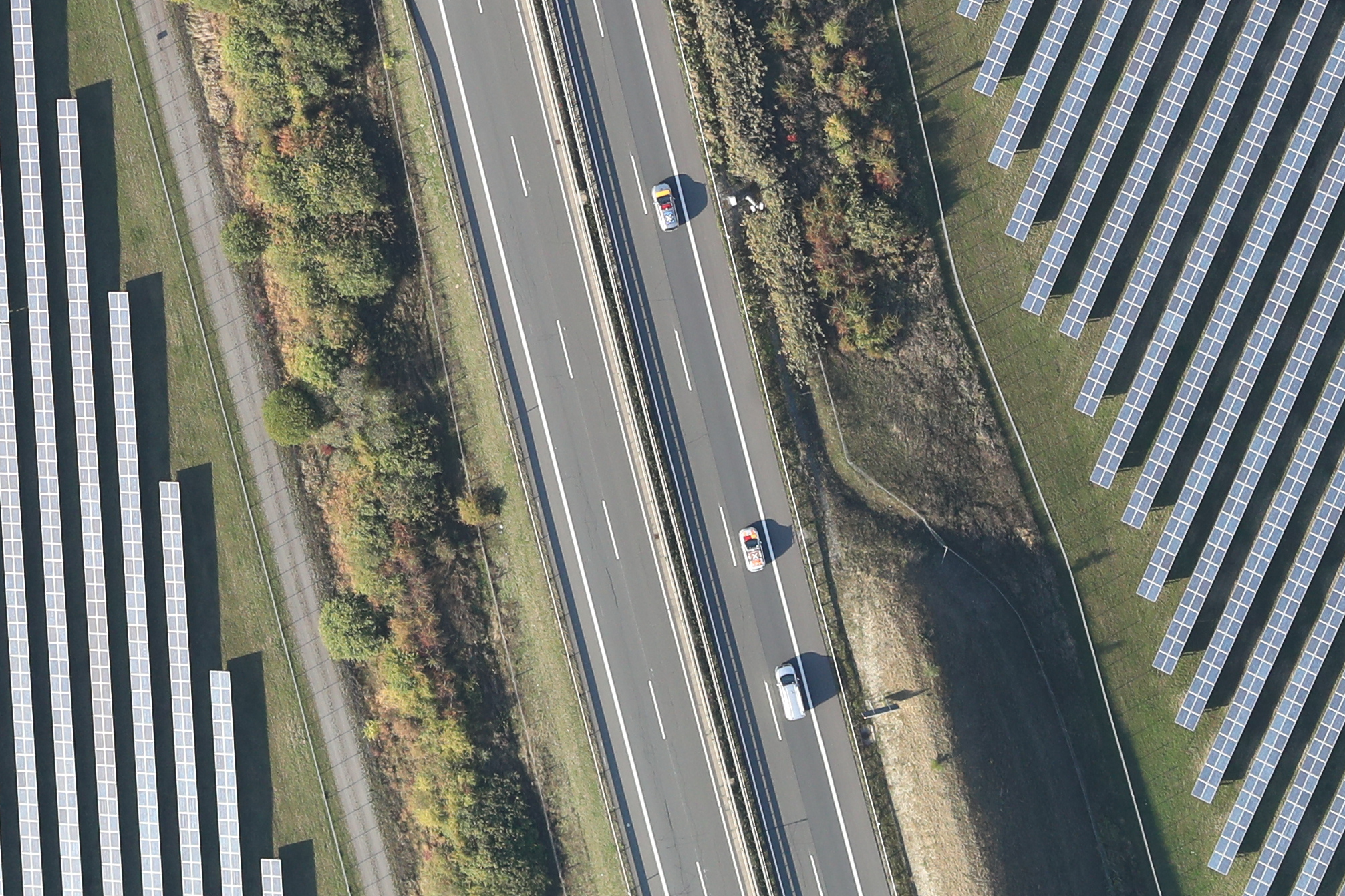
DLR measurement vehicles as seen by the 4k camera system on a section of the A39 motorway that is part of the Test Bed Lower Saxony.
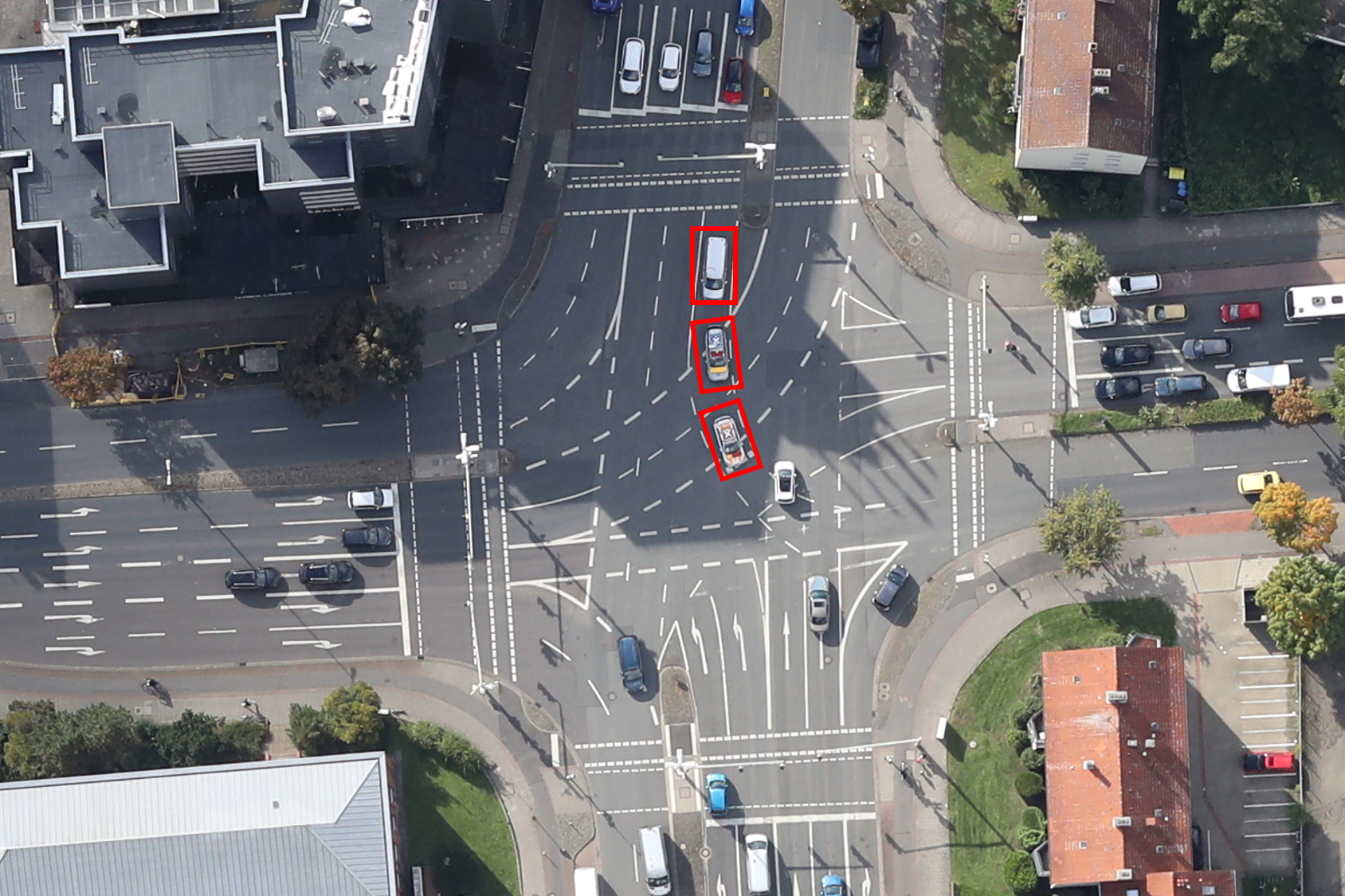
©DLR
DLR measurement vehicles as seen by the 4k camera system at the research intersection in Brunswick.
©DLR
4k camera system of DLR in use during the measurement campaign.
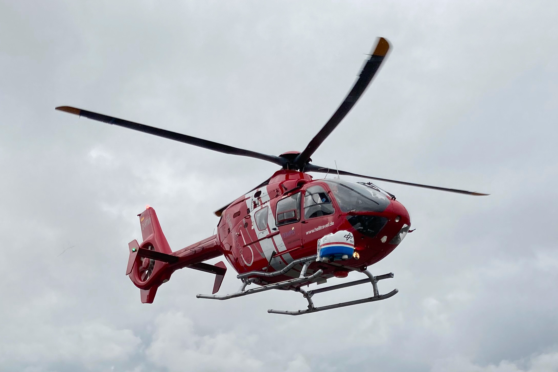
One challenge for automated vehicles is the accurate and robust determination of their own position and the surrounding area: satellite navigation systems, cameras and lidar sensors are often used for this purpose. Especially in densely built-up environments with numerous road users and complex situations, inaccuracies or even malfunctions of the systems can occur. In order to investigate the application spectrum of existing techniques on the one hand and to develop new methods on the other hand, a multimodal measurement campaign was successfully carried out between September 26 and 30, 2022. Two vehicles of the DLR-Institute of Transportation Systems equipped with numerous sensors took measurements from the perspective of car traffic and were supplemented by data from the stationary systems of the Test Bed Lower Saxony for automated and connected mobility along the A39 freeway and sensors from the AIM research junction in Brunswick. In addition, the IPS positioning system belonging to the Institute of Optical Sensor Systems was installed on one of the vehicles, enabling the localization without requiring any reference data. For the protection of vulnerable road users, the Institute for Communications and Navigation introduced the "Guardian-Angel-System". This system provides additional safety for pedestrians and cyclists by analyzing distortions in radio signals as well as by incorporating the pedestrian’s and cyclist’s position computed with their commercial smartphones. Together, we are striving to ensure the vision of zero traffic fatalities. Supported by the facility for Flight Experiments, the Remote Sensing Technology Institute generated a reference dataset using the 4k camera system installed on a helicopter, featuring aerial images showing campaign participants in a variety of traffic situations.
The acquired data will now be jointly analyzed by the participating institutes and used to develop new methods for determining the ego-position and the environment. The mutual goal is to expand the range of sensing through linking, so that anticipatory maneuvers will increase the efficiency of traffic flow and enhance the safety of all road users.