Großereignis- / Katastrophenmanagement

Fließender Verkehr auch in Extremsituationen, optimale Umleitungen und schnelle Einsatz- und Rettungskräfte: Bei Großereignissen und im Katastrophenfall ist ein agiles und effektives Verkehrsmanagement unentbehrlich. Das DLR führt unterschiedliche Verkehrs- und Lageinformationen – aus Satellitendaten, Luftbildern, bodengebundenen Sensoren – zusammen. Daraus werden Prognosen und Handlungsempfehlungen abgeleitet, die Einsatzkräfte wie Polizei, Feuerwehr, THW oder Rotes Kreuz unterstützen.

Aktuelles

A 3D Model in 2 Seconds

18.01.2018 · Großereignis- / Katastrophenmanagement
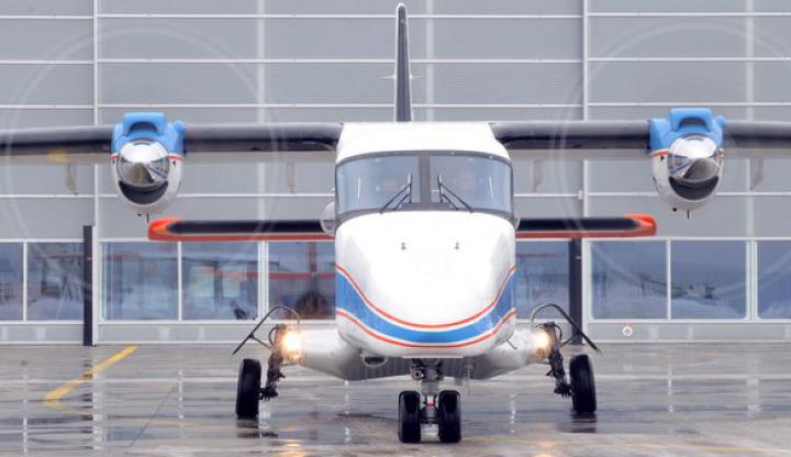
3D Information can now be derived from aerial imagery within seconds to serve applications of the project VABENE++.

VABENE++ and TOGS exhibited at the Science Days Munich

09.08.2016 · Großereignis- / Katastrophenmanagement
From 8th to 11th of September, the Science Days Munich offered the opportunity for universities, companies and research institutes from Munich to present their work to the general public. DLR took the opportunity to exhibit a model of its Transportable Optical Ground Station...

Aerial view – live from the forest fire with EOC

08.03.2016 · Großereignis- / Katastrophenmanagement
In cases of wide-area fires it is essential to precisely locate the source of fires and the directions in which they are spreading. In a joint forest fire drill in Spain together with firefighters and forest fire experts it could be demonstrated under realistic operating...

Erwin Schrödinger Prize 2015: Quantum Encryption Takes Off

28.01.2016 · Großereignis- / Katastrophenmanagement
Today, fast, efficient and safe exchange of information globally is considered to be indispensable, but so far full protection against unauthorized access has been something to dream about rather than a reality. This is because even the most sophisticated encryption can be...

Microdrones as mobile sensor platforms for disaster relief scenarios

04.12.2015 · Großereignis- / Katastrophenmanagement
Among other things, the current activities in VABENE++ include a study of micro aerial vehicles (MAVs; see Fig. 1) for potential applications in disaster relief and monitoring of large events. Fig. 1: Image of a Quadrotos MAV as they are used at the Insititute of Communications...