
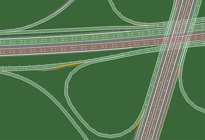
High-precision digital maps are essential for various aspects of testing automated and connected vehicles. They form the basis for the construction of realistic virtual traffic environments (scenarios and models), which enable simulation-based testing or can be used as a reference for the test and trial vehicles in the test bed. They are made available via the backend system for simulations and real driving and contain topographical and topological information concerning the road, traffic signs and infrastructure. The surveying as a basis for the creation of the maps is carried out according to the DLR Road2Simulation approach. The infrastructure data serves not only the visualisation but can also be used as high-precision georeferenced landmarks.
Basic data for the high-precision maps for motorway and rural-road sections A2, A39, A391 and L295:
- Elements covered: road and lane layout, road axes, lane edges, lane markings, lane letterings, linear infrastructure (e.g. crash barriers and noise-protection walls, bridge railings) and point infrastructure (e.g. delineator posts, posts, signs, toll and sign gantries)
- Accuracy: all measuring points are mapped with a maximum relative deviation of 5 cm and a maximum absolute deviation of 20 cm
- High-precision digital map available in the following formats: OpenDRIVE, Road2Simulation